

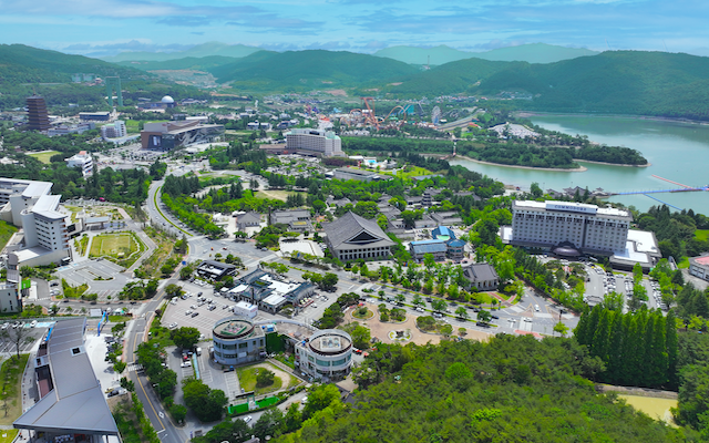
Christchurch, New Zealand is set to host more than 300 leading international scientists for the 13h International Conference on Geographic Information Science (GIScience) in 2025.
The four-day event, from August 26-29, 2025, will bring together international participants from academia, industry, and experts on urban analytics, geographic computing, movement analysis, digital mapping, and GeoAI from around the world.
Held biennially since 2000, GIScience is the flagship conference in its field. This is only the second time the event has been held in the Southern Hemisphere.
The conference is organised by the Te Whare Wānanga o Waitaha | University of Canterbury (UC), along with partners at the University of Auckland, Massey University, and University of Otago, and supported by ChristchurchNZ and Tourism New Zealand.
ChristchurchNZ head of business events, Megan Crum, said conferences like GIScience 2025 not only boost the local economy, but they also contribute to scientific advancement, industry innovation, attraction of global talent, and improved social policy.
“For international GI scientists, our city will be a living classroom. We are an ideal example of a bicultural and multicultural community experiencing fast demographic and economic change, urban growth and rebuilding, alongside a diverse biosphere and sometimes turbulent physical geography. Christchurch is also a gateway to Antarctica, and it has an economy tied to the land through a large agricultural sector plus a fast-growing technology sector,” she said.
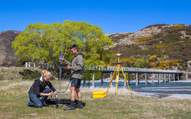
UC associate professor of Computer Science and Software Engineering Benjamin Adamsis, the lead local chair for the conference, added that geographic information plays a role in decision-making not only in the public and private sector to inform responses to disasters and critical issues for example, but also in the wider population, such as navigational support.


